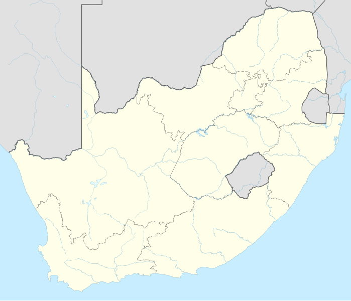
Coadan:South Africa adm location map.svg

Jeeskeaylley ymlane (coadan SVG, 2,031 × 1,741 pixel dy ennymagh, mooadys y choadan: 458 KB)
Giare-choontey
| Coontey |
Deutsch: Positionskarte von Südafrika
English: Location map of South Africa
|
||||||||||||
| Date | |||||||||||||
| Bun |
Own work using:
|
||||||||||||
| Author | NordNordWest | ||||||||||||

|
This map has been made or improved in the German Kartenwerkstatt (Map Lab). You can propose maps to improve as well.
|
Kieddagh:
Usage of this file with:

explanatory notes: Legally binding is only the full legalcode. For a free usage I recommend to respect the following licence conditions:
1. Provide my name as given above: NordNordWest,
2. a copy of, or the URI for, the applicable license: https://creativecommons.org/licenses/by-sa/3.0/de/legalcode,
3. the title of the work,
4. in the case of an adaptation, a credit identifying the use of the work in the adaptation.
This license and the rights granted hereunder will terminate automatically upon any breach by you of the terms of this license. Any of the above conditions can be waived if you get permission from the copyright holder. If you have questions or wish differing conditions, please contact me through nnwest or my discussion page ![]() t-online.de
t-online.de
- You are free:
- to share – to copy, distribute and transmit the work
- to remix – to adapt the work
- Under the following conditions:
- attribution – You must give appropriate credit, provide a link to the license, and indicate if changes were made. You may do so in any reasonable manner, but not in any way that suggests the licensor endorses you or your use.
- share alike – If you remix, transform, or build upon the material, you must distribute your contributions under the same or compatible license as the original.

Shennaghys y choadan
Crig er daayt/am ennagh son fakin er y choadan myr v’eh ec y traa shen.
| Daayt/Am | Ingin-ordaag | Towshanyn | Ymmydeyr | Cohaggloo | |
|---|---|---|---|---|---|
| bio | 18:17, 2 Toshiaght Arree 2015 | | 2,031 × 1,741 (458 KB) | NordNordWest | == {{int:filedesc}} == {{Information |Description= {{de|1=Positionskarte von Südafrika}} {{en|1=Location map of South Africa}} {{Location map series N |stretching=110 |top=-21.8 |bottom=-35.2 |left=16.0 |right=33.2 }} |Source={{Own using}} * United St... |
Ymmyd y choadan
Ta ny 1 duillag eiyrtyssagh kianglt rish y choadan shoh:
Global file usage
The following other wikis use this file:
- Usage on ab.wikipedia.org
- Usage on af.wikipedia.org
- Barberton (dubbelsinnig)
- Vredefortkoepel
- Wellington
- FIFA Sokker-Wêreldbekertoernooi in 2010
- Fietas
- Hatfield, Pretoria
- Olifantsrivier
- Langeberg
- Wêrelderfenisgebiede in Suid-Afrika
- Adelaide
- Springbokke
- Gebruiker:SpesBona
- Rugbywêreldbeker 1995
- Aberdeen (dubbelsinnig)
- Emmaus
- Gebruiker:BenBezuidenhout/Sandput
- FIFA Sokker-Konfederasiebeker in 2009
- Sebokeng
- Augrabieswaterval
- Moordenaarskaroo
- Wildekus
- Kliprivier
- Tsitsawaterval
- Premiersokkerliga
- Swartrivier (dubbelsinnig)
- Proteas
- Buffelsrivier
- Mooirivier (dubbelsinnig)
- Wilgerivier
- Afrikanasiesbeker 2013
- Pondoland
- Warrenton
- Boipatong
- UMgungundlovu
- Boesmansrivier (dubbelsinnig)
- Boesmanspruit (Watervalrivier, Mpumalanga)
- Ngqura-hawe
- Mountain View
- Suid-Afrikaanse Lugmagmuseum
- Rugby-uitdaagreeks
- Vier-en-twintig Riviere
- Verenigde Rugbykampioenskap
- Elandsrivier (meersinnig)
- Afrikanasiesbeker 1996
- Krieketwêreldbeker 2003
- Spitskopdam
- Blinkwaterspruit
- Heuningspruit
View more global usage of this file.