Coadan:Yugoslavia 1956-1990.svg

Size of this PNG preview of this SVG file: 450 × 456 pixels. Other resolutions: 237 × 240 pixels | 474 × 480 pixels | 758 × 768 pixels | 1,011 × 1,024 pixels | 2,021 × 2,048 pixels.
Jeeskeaylley ymlane (coadan SVG, 450 × 456 pixelyn dy ennymagh, mooadys y choadan: 475 KB)
Giare-choontey


.svg)
.svg)
.svg)
.svg)
.svg)


.svg)
.svg)
.svg)


.png)
.png)


.svg)


.svg)

.svg)


.svg)
.svg)
.svg)
.svg)


.svg)
.png)


.svg)


.svg)
.svg)


.svg)


.svg)


.svg)
.svg)
.svg)
.svg)
.svg)
.svg)
.svg)
_cropped.svg)
.svg)
.svg)
.svg)
.svg)
.svg)
.svg)
.svg)
.svg)
.svg)
.svg)
.svg)
.svg)
.svg)
.svg)
.svg)
.svg)
.svg)
.svg)
.svg)
.svg)
.svg)
.svg)
.svg)
.svg)
.svg)
.svg)
.svg)
.svg)
.svg)
.svg)
.svg)
.svg)
.svg)
.svg)
.svg)
.svg)
.svg)
.svg)
.svg)
.svg)
.svg)
.svg)
.svg)
.svg)
.svg)
| This is a retouched picture, which means that it has been digitally altered from its original version. The original can be viewed here: Blank map of Europe 1956-1990.svg:
|
Kieddagh:
I, the copyright holder of this work, hereby publish it under the following license:
This file is licensed under the Creative Commons Attribution-Share Alike 3.0 Unported license.
- You are free:
- to share – to copy, distribute and transmit the work
- to remix – to adapt the work
- Under the following conditions:
- attribution – You must give appropriate credit, provide a link to the license, and indicate if changes were made. You may do so in any reasonable manner, but not in any way that suggests the licensor endorses you or your use.
- share alike – If you remix, transform, or build upon the material, you must distribute your contributions under the same or compatible license as the original.
Original upload log
This image is a derivative work of the following images:
- File:Blank_map_of_Europe_1956-1990.svg licensed with Cc-by-sa-3.0
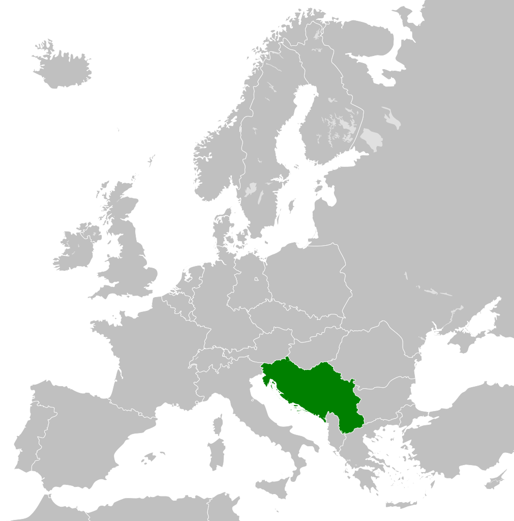
- 2011-10-30T04:43:42Z Alphathon 450x456 (485146 Bytes) == {{int:filedesc}} == {{Information |Description={{en|Blank map of Europe showing national borders as they stood from 1956-1990.}} |Source=*[[:File:Blank_map_of_Europe.svg|]] |Date=2011-10-30 04:42 (UTC) |Author=*[[:File:Bla
| Annotations | This image is annotated: View the annotations at Commons |
Shennaghys y choadan
Crig er daayt/am ennagh son fakin er y choadan myr v’eh ec y traa shen.
| Daayt/Am | Ingin-ordaag | Towshanyn | Ymmydeyr | Cohaggloo | |
|---|---|---|---|---|---|
| bio | 01:00, 26 Mee Houney 2011 | | 450 × 456 (475 KB) | StalwartUK | == {{int:filedesc}} == {{Information |Description={{en|Map of Socialist Federal Republic of Yugoslavia as it was from 1945-1992. Surrounding countries accurate from 1956-1990.}} |Source=*[[:File:Blank_map_o |
Ymmyd y choadan
Ta ny 1 duillag eiyrtyssagh kianglt rish y choadan shoh:
Global file usage
The following other wikis use this file:
- Usage on ar.wikipedia.org
- Usage on arz.wikipedia.org
- Usage on ast.wikipedia.org
- Usage on ast.wiktionary.org
- Usage on azb.wikipedia.org
- Usage on az.wikipedia.org
- Usage on az.wiktionary.org
- Usage on be-tarask.wikipedia.org
- Usage on be.wikipedia.org
- Usage on bg.wikipedia.org
- Usage on bs.wikipedia.org
- Usage on ca.wikipedia.org
- Usage on ce.wikipedia.org
- Usage on cs.wikipedia.org
- Usage on da.wikipedia.org
- Usage on de.wikipedia.org
- Usage on en.wikipedia.org
- Socialist Federal Republic of Yugoslavia
- User:Mr Hall of England/sandbox
- Telephone numbers in Yugoslavia
- User:Falcaorib
- Soviet involvement in regime change
- User:XP6287/sandbox
- Guyana–Yugoslavia relations
- Cyprus–Yugoslavia relations
- Afghanistan–Yugoslavia relations
- Pakistan–Yugoslavia relations
- Canada–Yugoslavia relations
- Malta–Yugoslavia relations
- Germany–Yugoslavia relations
- Nicaragua–Yugoslavia relations
- Brazil–Yugoslavia relations
- Cambodia–Yugoslavia relations
- List of companies of the Socialist Federal Republic of Yugoslavia
- Usage on en.wiktionary.org
- Usage on es.wikipedia.org
- Usage on es.wiktionary.org
- Usage on eu.wikipedia.org
- Usage on fa.wikipedia.org
- Usage on fi.wikipedia.org
- Usage on fo.wikipedia.org
- Usage on frr.wikipedia.org
- Usage on fr.wikipedia.org
View more global usage of this file.