Coadan:Relief Map of Belarus.png

Size of this preview: 672 × 600 pixels. Other resolutions: 269 × 240 pixels | 538 × 480 pixels | 861 × 768 pixels | 1,197 × 1,068 pixels.
Jeeskeaylley ymlane (1,197 × 1,068 pixelyn, mooadys y choadan: 2.39 MB, sorçh MIME: image/png)
Giare-choontey
| Coontey |
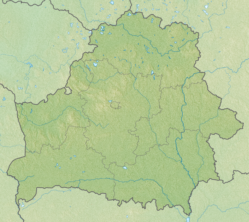
English: Relief map of Belarus
Equirectangular projection, N/S stretching 170 %. Geographic limits of the map:
|
| Date | |
| Bun | |
| Author |
|
Kieddagh:
This file is licensed under the Creative Commons Attribution-Share Alike 3.0 Unported license.
- You are free:
- to share – to copy, distribute and transmit the work
- to remix – to adapt the work
- Under the following conditions:
- attribution – You must give appropriate credit, provide a link to the license, and indicate if changes were made. You may do so in any reasonable manner, but not in any way that suggests the licensor endorses you or your use.
- share alike – If you remix, transform, or build upon the material, you must distribute your contributions under the same or compatible license as the original.
Shennaghys y choadan
Crig er daayt/am ennagh son fakin er y choadan myr v’eh ec y traa shen.
| Daayt/Am | Ingin-ordaag | Towshanyn | Ymmydeyr | Cohaggloo | |
|---|---|---|---|---|---|
| bio | 02:00, 23 Averil 2013 | | 1,197 × 1,068 (2.39 MB) | Ras67 | cropped |
| 16:37, 27 Mee Houney 2010 |  | 1,200 × 1,072 (2.78 MB) | Виктор В | SRTM3 | |
| 18:28, 30 Luanistyn 2010 |  | 1,200 × 1,072 (1.87 MB) | Виктор В | +реки | |
| 19:47, 26 Luanistyn 2010 |  | 1,000 × 893 (1.48 MB) | Виктор В | == {{int:filedesc}} == {{Information |Description={{en|Relief map of Belarus}} Equirectangular projection, N/S stretching 170 %. Geographic limits of the map: * N: 56.4° N * S: 51.1° N * W: 22.9° E * E: 33.0° E |Source=*[[:File:Belarus |
Ymmyd y choadan
Ta ny 1 duillag eiyrtyssagh kianglt rish y choadan shoh:
Global file usage
The following other wikis use this file:
- Usage on als.wikipedia.org
- Usage on ar.wikipedia.org
- Usage on ast.wikipedia.org
- Usage on av.wikipedia.org
- Usage on azb.wikipedia.org
- Usage on az.wikipedia.org
- Usage on ba.wikipedia.org
- Usage on bcl.wikipedia.org
- Usage on be-tarask.wikipedia.org
- Лукомскае возера
- Балдук
- Глубля
- Глубелька
- Нарач
- Сялява (возера)
- Выганашчанскае возера
- Белае возера (Бешанковіцкі раён)
- Белае возера (Полацкі раён)
- Белае возера (Мёрскі раён)
- Белае возера (Чашніцкі раён)
- Белае возера (Дрысенскі раён)
- Белае возера (Берасьцейскі раён)
- Белае возера (Гарадоцкі раён)
- Белае возера (Расонскі раён)
- Белае возера (Гарадзенскі раён)
- Белае возера (Жыткавіцкі раён)
- Белае возера (Глыбоцкі раён)
- Белае возера (Бярозаўскі раён)
- Князь-возера
- Рычы (возера)
- Струста
- Мядзел (возера)
View more global usage of this file.