Coadan:Pays de la Loire region relief location map.jpg

Size of this preview: 619 × 599 pixels. Other resolutions: 248 × 240 pixels | 496 × 480 pixels | 793 × 768 pixels | 1,058 × 1,024 pixels | 1,546 × 1,497 pixels.
Jeeskeaylley ymlane (1,546 × 1,497 pixelyn, mooadys y choadan: 395 KB, sorçh MIME: image/jpeg)
Giare-choontey
| Coontey |
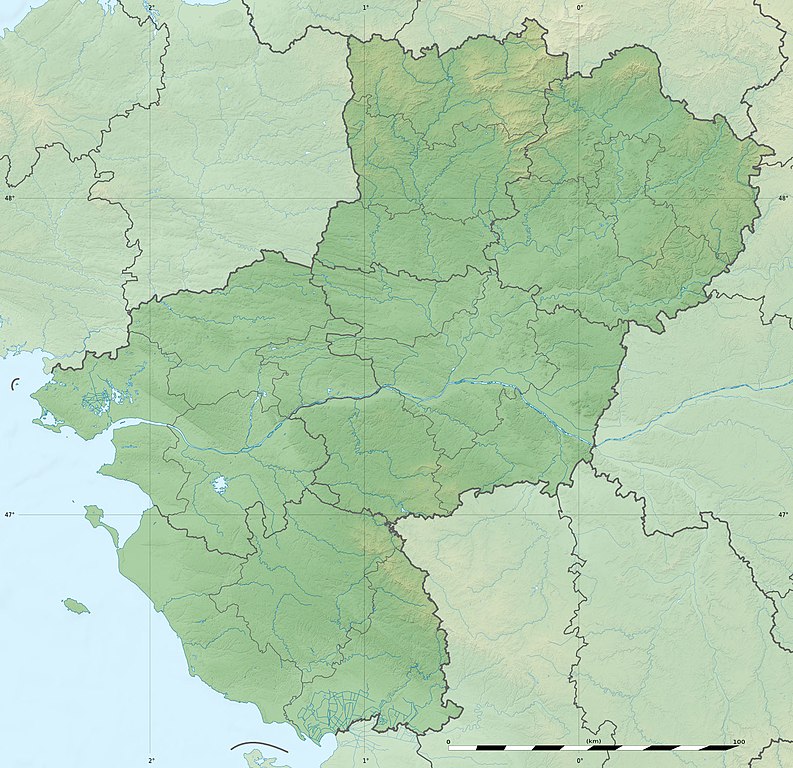
English: Blank physical map of the region of Pays de la Loire, France, as in February 2011, for geo-location purpose, with distinct boundaries for regions, departments and arrondissements.
Français : Carte physique vierge de la région des Pays de la Loire, France, telle qu'en février 2011, destinée à la géolocalisation, avec limite distincte des régions, départements et arrondissements. Scales:
Equirectangular projection, WGS84 datum
Geographic limits of the map:
|
||
| Date | |||
| Bun |
Own work
|
||
| Author | Eric Gaba (Sting - fr:Sting) | ||
| Permission (Reusing this file) |
|
||
| Other versions |
|

| Camera location | | View this and other nearby images on: OpenStreetMap |
|---|
Kieddagh:
Eric Gaba, Wikimedia Commons user Sting, the copyright holder of this work, hereby publishes it under the following license:
This file is licensed under the Creative Commons Attribution-Share Alike 3.0 Unported license.
Attribution: Eric Gaba, Wikimedia Commons user Sting
- You are free:
- to share – to copy, distribute and transmit the work
- to remix – to adapt the work
- Under the following conditions:
- attribution – You must give appropriate credit, provide a link to the license, and indicate if changes were made. You may do so in any reasonable manner, but not in any way that suggests the licensor endorses you or your use.
- share alike – If you remix, transform, or build upon the material, you must distribute your contributions under the same or compatible license as the original.
Shennaghys y choadan
Crig er daayt/am ennagh son fakin er y choadan myr v’eh ec y traa shen.
| Daayt/Am | Ingin-ordaag | Towshanyn | Ymmydeyr | Cohaggloo | |
|---|---|---|---|---|---|
| bio | 18:16, 2 Mayrnt 2011 | | 1,546 × 1,497 (395 KB) | Sting | Missing shaded relief on sea area |
| 13:47, 2 Mayrnt 2011 |  | 1,546 × 1,497 (438 KB) | Sting | == {{int:filedesc}} == {{Information |Description={{en|Blank physical map of the region of Pays de la Loire, France, as in February 2011, for geo-location purpose, with distinct boundaries for regions, departments and arrondisseme |
Ymmyd y choadan
Ta ny 1 duillag eiyrtyssagh kianglt rish y choadan shoh:
Global file usage
The following other wikis use this file:
- Usage on als.wikipedia.org
- Usage on ar.wikipedia.org
- Usage on bg.wikipedia.org
- Usage on bn.wikipedia.org
- Usage on ceb.wikipedia.org
- Usage on cy.wikipedia.org
- Usage on de.wikipedia.org
- Usage on el.wikipedia.org
- Usage on en.wikipedia.org
- Maine (river)
- Ernée (river)
- Thouet
- Lac d'Apremont
- Èvre
- Vègre
- Layon
- Oudon (river)
- Vaige
- Verzée
- Yon (river)
- Smagne
- Chère
- Petite Maine
- Boulogne (river)
- User:Michael!/Project:Location map templates/France
- Grand-Auverné Formation
- Vie (river)
- Module:Location map/data/France Pays de la Loire
- Module:Location map/data/France Pays de la Loire/doc
- User:DutchTreat/Projects/Places
- Bay of Bourgneuf
- Acheneau
- 1799 Vendée earthquake
- Canal de Haute Perche
- Authion
- Blanche (Loire-Atlantique)
View more global usage of this file.