Coadan:Blaenau Gwent UK location map.svg

Size of this PNG preview of this SVG file: 469 × 600 pixels. Other resolutions: 188 × 240 pixels | 375 × 480 pixels | 600 × 768 pixels | 801 × 1,024 pixels | 1,601 × 2,048 pixels | 990 × 1,266 pixels.
Jeeskeaylley ymlane (coadan SVG, 990 × 1,266 pixelyn dy ennymagh, mooadys y choadan: 407 KB)
| Coontey |
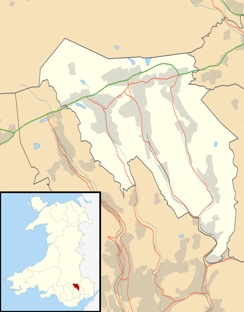
Blank map of Blaenau Gwent, UK with the following information shown:
Equirectangular map projection on WGS 84 datum, with N/S stretched 160% Geographic limits:
|
| Date | |
| Bun |
|
| Author | Nilfanion, created using Ordnance Survey data |
| Permission (Reusing this file) |
This file is licensed under the Creative Commons Attribution-Share Alike 3.0 Unported license. Attribution: Contains Ordnance Survey data © Crown copyright and database right
|
| Other versions | File:Blaenau Gwent UK map.svg - Blank map |
Shennaghys y choadan
Crig er daayt/am ennagh son fakin er y choadan myr v’eh ec y traa shen.
| Daayt/Am | Ingin-ordaag | Towshanyn | Ymmydeyr | Cohaggloo | |
|---|---|---|---|---|---|
| bio | 19:26, 26 Mean Fouyir 2010 | | 990 × 1,266 (407 KB) | Nilfanion | {{Information |Description=Blank map of Blaenau Gwent, UK with districts shown. Equirectangular map projection on WGS 84 datum, with N/S stretched 160% Geographic limits: *West: 3.35W *East: 3.10W *North: 51.85N *South: 51.65N |Sourc |
Ymmyd y choadan
Ta ny 1 duillag eiyrtyssagh kianglt rish y choadan shoh:
Global file usage
The following other wikis use this file:
- Usage on ar.wikipedia.org
- Usage on br.wikipedia.org
- Usage on ceb.wikipedia.org
- Usage on cy.wikipedia.org
- Usage on da.wikipedia.org
- Usage on en.wikipedia.org
- Abertillery
- Blaenau Gwent
- Ebbw Vale
- Aberbeeg
- Brynmawr
- Tredegar
- St Illtyd
- Blaina
- Abertillery and District Hospital
- Tredegar General Hospital
- Ysbyty Aneurin Bevan
- Ashvale, Blaenau Gwent
- Beaufort, Blaenau Gwent
- Nantyglo
- Llanhilleth
- Trefil
- Ebbw Vale Hospital
- Rassau
- Cwmtillery
- Cwm, Blaenau Gwent
- Module:Location map/data/Wales Blaenau Gwent/doc
- List of Sites of Special Scientific Interest in Blaenau Gwent
- User:Wop48/sandbox
- Tafarnaubach
- Blaina & District Hospital
- Ysbyty'r Tri Chwm
- List of scheduled monuments in Blaenau Gwent
- Swffryd
- St Illtyd's Church, Llanhilleth
- User:Robevans123/sandbox/Tredegar Town Clock
- Module:Location map/data/Wales Blaenau Gwent
- Badminton, Blaenau Gwent
- Six Bells
- Waun-Lwyd
- Brynithel
- Coalbrookvale
- Georgetown, Blaenau Gwent
- Llan-dafel
- Sirhowy
- Tredegar Town Hall
- Usage on es.wikipedia.org
View more global usage of this file.