Coadan:Belgium location map.svg

Size of this PNG preview of this SVG file: 689 × 599 pixels. Other resolutions: 276 × 240 pixels | 552 × 480 pixels | 883 × 768 pixels | 1,177 × 1,024 pixels | 2,355 × 2,048 pixels | 1,136 × 988 pixels.
Jeeskeaylley ymlane (coadan SVG, 1,136 × 988 pixelyn dy ennymagh, mooadys y choadan: 120 KB)
Giare-choontey
| Coontey |
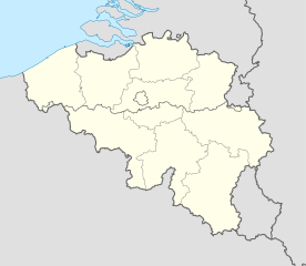
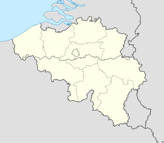
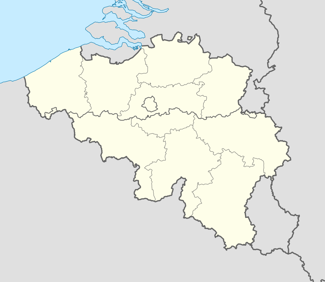
Deutsch: Positionskarte von Belgien
Quadratische Plattkarte, N-S-Streckung 157,218 %. Geographische Begrenzung der Karte:
English: Location map of Belgium
Equirectangular projection, N/S stretching 157.218 %. Geographic limits of the map:
|
||
| Date | |||
| Bun | Own work (Original text: own work, using United States National Imagery and Mapping Agency data) | ||
| Author | NordNordWest | ||
| Other versions |
Derivative works of this file: |
||
| SVG genesis | This locator map was created with Adobe Illustrator by NordNordWest.
|


_location.svg)
_location.svg)
_location.svg)
_location.svg)
Kieddagh:
I, the copyright holder of this work, hereby publish it under the following licenses:

|
Permission is granted to copy, distribute and/or modify this document under the terms of the GNU Free Documentation License, Version 1.2 or any later version published by the Free Software Foundation; with no Invariant Sections, no Front-Cover Texts, and no Back-Cover Texts. A copy of the license is included in the section entitled GNU Free Documentation License. |
This file is licensed under the Creative Commons Attribution-Share Alike 3.0 Unported license.
- You are free:
- to share – to copy, distribute and transmit the work
- to remix – to adapt the work
- Under the following conditions:
- attribution – You must give appropriate credit, provide a link to the license, and indicate if changes were made. You may do so in any reasonable manner, but not in any way that suggests the licensor endorses you or your use.
- share alike – If you remix, transform, or build upon the material, you must distribute your contributions under the same or compatible license as the original.
You may select the license of your choice.
Shennaghys y choadan
Crig er daayt/am ennagh son fakin er y choadan myr v’eh ec y traa shen.
| Daayt/Am | Ingin-ordaag | Towshanyn | Ymmydeyr | Cohaggloo | |
|---|---|---|---|---|---|
| bio | 18:26, 23 Mean Fouyir 2010 | | 1,136 × 988 (120 KB) | NordNordWest | upd |
| 18:42, 25 Luanistyn 2008 |  | 1,136 × 945 (159 KB) | NordNordWest | size correction | |
| 19:01, 9 Jerrey Souree 2008 |  | 379 × 315 (156 KB) | NordNordWest | {{Information |Description= {{de|Positionskarte von Belgien}} Quadratische Plattkarte, N-S-Streckung 150 %. Geographische Begrenzung der Karte: * N: 51.8° N * S: 49.2° N * W: 2.2° O * O: 6.9° O {{en|Location map of [[:en:Belgium|Belgiu |
Ymmyd y choadan
Global file usage
The following other wikis use this file:
- Usage on ar.wikipedia.org
- Usage on av.wikipedia.org
- Usage on azb.wikipedia.org
- Usage on ban.wikipedia.org
- Usage on be.wikimedia.org
- Wiki Loves Monuments/website/Photo tour 28 September 2014/lb
- Wiki Loves Monuments/website/Photo tour 28 September 2014/fr
- Wiki Loves Monuments/website/Photo tour 28 September 2014/de
- Wiki Loves Monuments/website/Photo tour 28 September 2014/nl
- Wiki Loves Monuments/website/Photo tour 28 September 2014
- Uitnodiging voor de fototocht Wiki Takes... Leuven op 28 september 2014
- Invitation to the photo tour Wiki Takes... Leuven on 28 September 2014
- Invitation balade photographique Wiki Takes... Louvain, le 28 Septembre 2014
- Usage on bn.wikipedia.org
- Usage on bs.wikipedia.org
- Usage on ca.wikipedia.org
- Usage on ceb.wikipedia.org
View more global usage of this file.