Coadan:Australia New South Wales location map blank.svg

Jeeskeaylley ymlane (coadan SVG, 1,885 × 1,670 pixelyn dy ennymagh, mooadys y choadan: 351 KB)
Giare-choontey
| Coontey |
Quadratische Plattkarte, N-S-Streckung 119 %. Geographische Begrenzung der Karte:
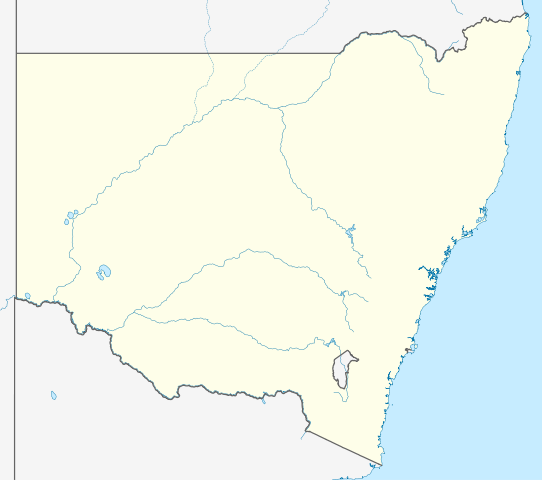
Equirectangular projection, N/S stretching 119 %. Geographic limits of the map:
|
|
| Date | ||
| Bun |
|
|
| Author | NordNordWest | |
| Permission (Reusing this file) |
This file is licensed under the Creative Commons Attribution-Share Alike 3.0 Germany license.
 This file is licensed under the Creative Commons Attribution-Share Alike 3.0 Unported license.
|


|
This map has been made or improved in the German Kartenwerkstatt (Map Lab). You can propose maps to improve as well.
|
[[Category:SVG locator maps of states and territories in Australia (location map scheme)]
Shennaghys y choadan
Crig er daayt/am ennagh son fakin er y choadan myr v’eh ec y traa shen.
| Daayt/Am | Ingin-ordaag | Towshanyn | Ymmydeyr | Cohaggloo | |
|---|---|---|---|---|---|
| bio | 00:53, 10 Averil 2010 | | 1,885 × 1,670 (351 KB) | Roke~commonswiki | {{Information |Description={{en|1=---}} |Source=--- |Author=--- |Date=--- |Permission= |other_versions= }} |
Ymmyd y choadan
Ta ny 3 duillagyn eiyrtyssagh kianglt rish y choadan shoh:
Global file usage
The following other wikis use this file:
- Usage on af.wikipedia.org
- Usage on ar.wikipedia.org
- Usage on ast.wikipedia.org
- Usage on azb.wikipedia.org
- Usage on bn.wikipedia.org
- Usage on ceb.wikipedia.org
- Usage on ckb.wikipedia.org
- Usage on da.wikipedia.org
- Usage on de.wikipedia.org
- Usage on en.wikipedia.org
- Australian Capital Territory
- Katoomba, New South Wales
- Blue Mountains National Park
- Moruya, New South Wales
- Darlinghurst
- Maitland, New South Wales
- Sydney Airport
- Redfern, New South Wales
- Ulladulla, New South Wales
- Bexhill, New South Wales
- Blackheath, New South Wales
- Berry, New South Wales
- 2008 Rugby League World Cup
- Kiama, New South Wales
- Batemans Bay
- Castlecrag, New South Wales
- Parkes, New South Wales
- Bulli, New South Wales
- Boorowa
- Jerilderie
- Harden, New South Wales
View more global usage of this file.