Coadan:Antarctica blank.svg

Size of this PNG preview of this SVG file: 600 × 600 pixels. Other resolutions: 240 × 240 pixels | 480 × 480 pixels | 768 × 768 pixels | 1,024 × 1,024 pixels | 2,048 × 2,048 pixels | 804 × 804 pixels.
Jeeskeaylley ymlane (coadan SVG, 804 × 804 pixelyn dy ennymagh, mooadys y choadan: 39 KB)
Giare-choontey
This W3C-unspecified vector image was created with Inkscape .
| Coontey |
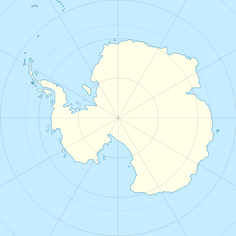
English: Blank map of Antarctica.
Français : Carte nue de l'Antarctique. La latitude au centre de chaque bord est -60. Donc le pôle est centré. |
| Date | |
| Bun | Image:Antarctica_research_station.gif + Image:Blank suedpolarregion.png |
| Author | STyx |
| Other versions | Map with territorial claims marked out, Antarctica blank 2.svg |
Kieddagh:
I, the copyright holder of this work, hereby publish it under the following licenses:

|
Permission is granted to copy, distribute and/or modify this document under the terms of the GNU Free Documentation License, Version 1.2 or any later version published by the Free Software Foundation; with no Invariant Sections, no Front-Cover Texts, and no Back-Cover Texts. A copy of the license is included in the section entitled GNU Free Documentation License. |
This file is licensed under the Creative Commons Attribution 3.0 Unported license.
- You are free:
- to share – to copy, distribute and transmit the work
- to remix – to adapt the work
- Under the following conditions:
- attribution – You must give appropriate credit, provide a link to the license, and indicate if changes were made. You may do so in any reasonable manner, but not in any way that suggests the licensor endorses you or your use.
You may select the license of your choice.
Shennaghys y choadan
Crig er daayt/am ennagh son fakin er y choadan myr v’eh ec y traa shen.
| Daayt/Am | Ingin-ordaag | Towshanyn | Ymmydeyr | Cohaggloo | |
|---|---|---|---|---|---|
| bio | 11:45, 21 Mee ny Nollick 2009 | | 804 × 804 (39 KB) | Botev | Reverted to version as of 07:30, 14 October 2009 - we are using this image as a location map on pl wiki, don't simply change it like that. Upload a new image if you want. |
| 15:59, 17 Mee ny Nollick 2009 |  | 1,139 × 1,262 (43 KB) | NuclearVacuum | minor | |
| 15:57, 17 Mee ny Nollick 2009 |  | 1,139 × 1,262 (43 KB) | NuclearVacuum | made image larger to show the rest of the image | |
| 07:30, 14 Jerrey Fouyir 2009 |  | 804 × 804 (39 KB) | Entlinkt | Just slightly changed colours to those given at File:Maps_template-fr.svg | |
| 01:43, 11 Mayrnt 2008 |  | 804 × 804 (39 KB) | STyx | ||
| 00:43, 11 Mayrnt 2008 |  | 804 × 804 (30 KB) | STyx | == Summary == {{Created with Inkscape}} {{Information |Description= *{{en}} Blank map of Antarctica. *{{fr}} Carte nue de l'Antarctique. La latitude au centre de chaque bord est -60. Donc le pôle est centré. |Source=[[:Image:Antarctica_research_station. |
Ymmyd y choadan
Cha nel duillag erbee kianglt rish y choadan shoh.
Global file usage
The following other wikis use this file:
- Usage on de.wikipedia.org
- Usage on en.wikipedia.org
- Usage on es.wikipedia.org
- Usage on fr.wikipedia.org
- Usage on hy.wikipedia.org
- Usage on zh.wikipedia.org