Coadan:Locator map of the Union of South Africa.svg

Size of this PNG preview of this SVG file: 800 × 400 pixels. Other resolutions: 320 × 160 pixels | 640 × 320 pixels | 1,024 × 512 pixels | 1,280 × 640 pixels | 2,560 × 1,280 pixels | 1,000 × 500 pixels.
Jeeskeaylley ymlane (coadan SVG, 1,000 × 500 phixel dy ennymagh, mooadys y choadan: 2.76 MB)
Giare-choontey
| Coontey |
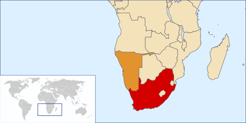
English: Location of the Union of South Africa, 1915-1961 |
| Bun | Own work by uploader based on File:LocationSouthAfrica.svg |
| Author | Seb az86556 |
Kieddagh:
I, the copyright holder of this work, hereby publish it under the following license:
This file is licensed under the Creative Commons Attribution 3.0 Unported license.
- You are free:
- to share – to copy, distribute and transmit the work
- to remix – to adapt the work
- Under the following conditions:
- attribution – You must give appropriate credit, provide a link to the license, and indicate if changes were made. You may do so in any reasonable manner, but not in any way that suggests the licensor endorses you or your use.
Shennaghys y choadan
Crig er daayt/am ennagh son fakin er y choadan myr v’eh ec y traa shen.
| Daayt/Am | Ingin-ordaag | Towshanyn | Ymmydeyr | Cohaggloo | |
|---|---|---|---|---|---|
| bio | 21:38, 19 Mean Souree 2010 | | 1,000 × 500 (2.76 MB) | Seb az86556 | show SWA as contested area |
| 19:34, 27 Jerrey Souree 2009 |  | 1,000 × 500 (2.76 MB) | Seb az86556 | {{Information |Description={{en|1=Location of the Union of South Africa, 1910-1961}} |Source=Own work by uploader based on File:LocationSouthAfrica.svg |Author=Seb az86556 |Date= |Permission= |other_versions= }} [[Category:Maps |
Ymmyd y choadan
Cha nel duillag erbee kianglt rish y choadan shoh.
Global file usage
The following other wikis use this file:
- Usage on en.wikipedia.org
- Usage on he.wikipedia.org
- Usage on hy.wikipedia.org
- Usage on zh.wikipedia.org